Mount Batariya
Also known as Batariya, Batareya
The 100-metre sentinel at the mouth of Concepcion Bay, home to coconut crabs, birds and monkeys, and watched over by an image of the Immaculada Concepcion.

About this place
Mount Batariya stands 100 metres tall at the entrance to Concepcion Bay. It shelters the Poblacion from the wind and is home to birds, lizards and monkeys that live in its small caves and gorges, as well as the endangered tatus, or coconut crab.
On a promontory just above the water stands an image of the Immaculada Concepcion, the island’s patron. Fr. Dennis McKillip, SVD, the town’s first and longest-serving parish priest, placed it there in the 1970s. It faces Banton to the south-west, recalling Sibale’s roots as Banton’s daughter and offering protection to voyagers.
Batariya has not yet been mapped. The municipality plans a hiking trail, a stairway to the summit with Stations of the Cross, and a promenade and viewing deck. From the top, a 360-degree view takes in the town, the coastal barangay of Bido-os (San Vicente), Banton Pass and the Tablas Strait.
Visitor notes
- Its secondary forest is wildlife habitat. Stay on paths and never disturb or collect coconut crabs.
- The image of the Immaculada Concepcion is a place of devotion. Please be respectful.
Photos of Mount Batariya
Mount Batariya, a forested peak at the mouth of Concepcion Bay, surrounded by deep blue water Aerial view of Batariya’s rocky shoreline and the clear water at the entrance to the bay
More to discover

ViewpointsNear Poblacion
Bagulayag Cliff
A sheer, 50-metre rock wall above the sea, crowned with cogon grass and looking out over Banton Pass and the Tablas Strait.
Discover more
Viewpoints
Gran Tsina Ridge
A high plateau named after the Chinese traders who once sheltered in Concepcion Bay, and where Ming-dynasty porcelain was found in the 1970s.
Discover more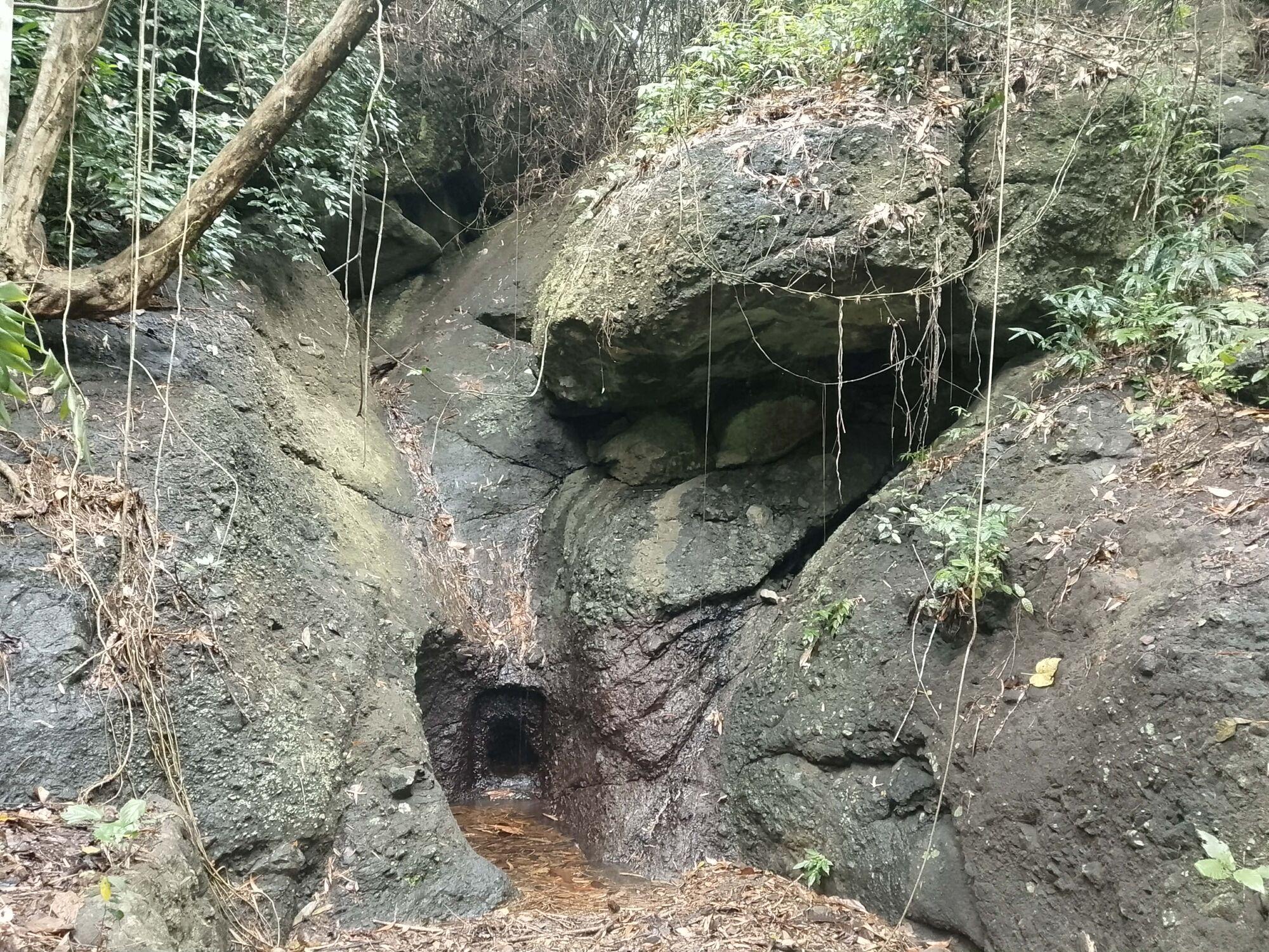
HeritagePoblacion
Tinigban Trail
A rock carved in Spanish times beside a vanished waterfall, and the story behind one of Sibale’s oldest place names.
Discover more